AquaWatch System
Environmental GIS Geolocation & Water Quality Sensor Monitoring Platform
Role
Lead Mobile Architect
Platform
Android, iOS & Web
State Management
BLoC
Database & Cloud
Firebase
Stations
17+ Active
Monitored across BD
Parameters
Salinity, EC, Temp
Sensor telemetry
GPS Accuracy
High Precision
Hardware geotagging
Data Quality
Admin Verified
Quality control queue
Problem & Constraints
Researchers in remote coastal areas need to enter multi-parameter sensor readings with high precision GPS location tagging, where network signals are unreliable.
Technical Implementation
Engineered an offline submission cache that queues sensor logs and geotags them with device hardware GPS. Developed a GIS station map with Google Maps API and an admin verification queue to audit readings before publishing.
Technical Highlights & Innovations
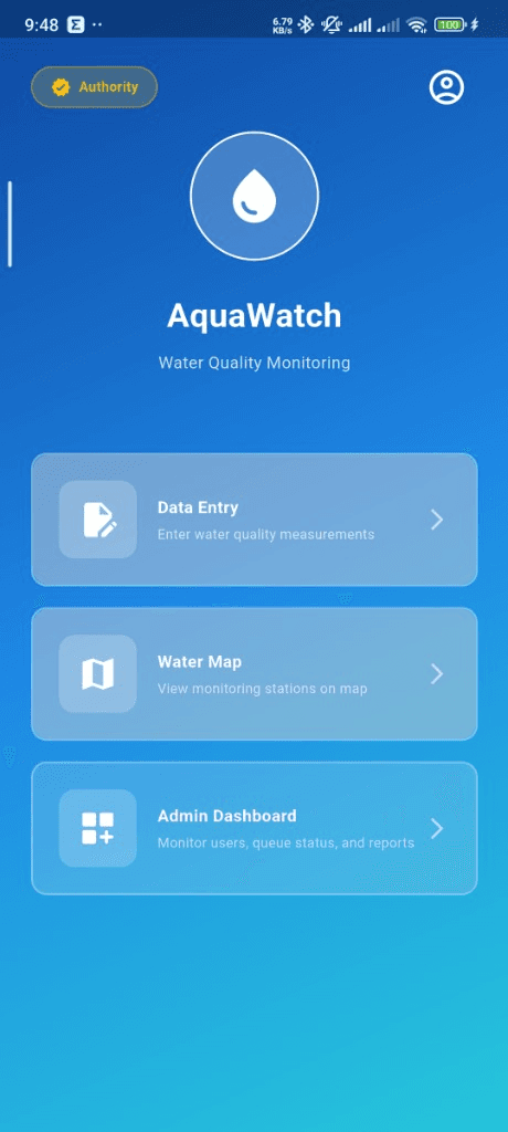
Interactive GIS Water Monitoring Map tracking 17+ regional stations across Bangladesh
Multi-parameter sensor measurement entry with automated device GPS location tagging
Role-based verification queue & admin status workflow dashboard
Historical water quality trend charts tracking salinity, EC, and temperature
Key Product Capabilities
Interactive GIS Station Map
Interactive regional map with custom station pins showing real-time water health indices across Bangladesh.
Field Sensor Data Submission
Forms for salinity, electrical conductivity (EC), pH, and water temperature with automated GPS tagging.
Admin Verification Queue
Supervisor portal to inspect, approve, or reject sensor submissions before public indexing.
System Architecture & Data Flow
Layered architecture connecting hardware GPS and Google Maps SDK with Firebase cloud storage and verification queues.
Map & Presentation
Google Maps Flutter widget, custom markers, and sensor submission cards.
Location & Sensors
Geolocator hardware positioning and offline submission cache.
Data & Security
Firebase Firestore role-based rules, Auth, and verification queues.
Tech Stack & Dependencies
Mobile Framework
GIS & Maps
State Management
Backend & Cloud
Browse More Production Case Studies
Need a High-Performance Mobile App Built for Your Business?
Let's build an exceptional Android, iOS, or Web application tailored to your goals. Recognized as one of the best app developers in Bangladesh, delivering clean code and 60 FPS performance.